(John Wesley Powell, 1834-1902)
Geographic Information Systems Links
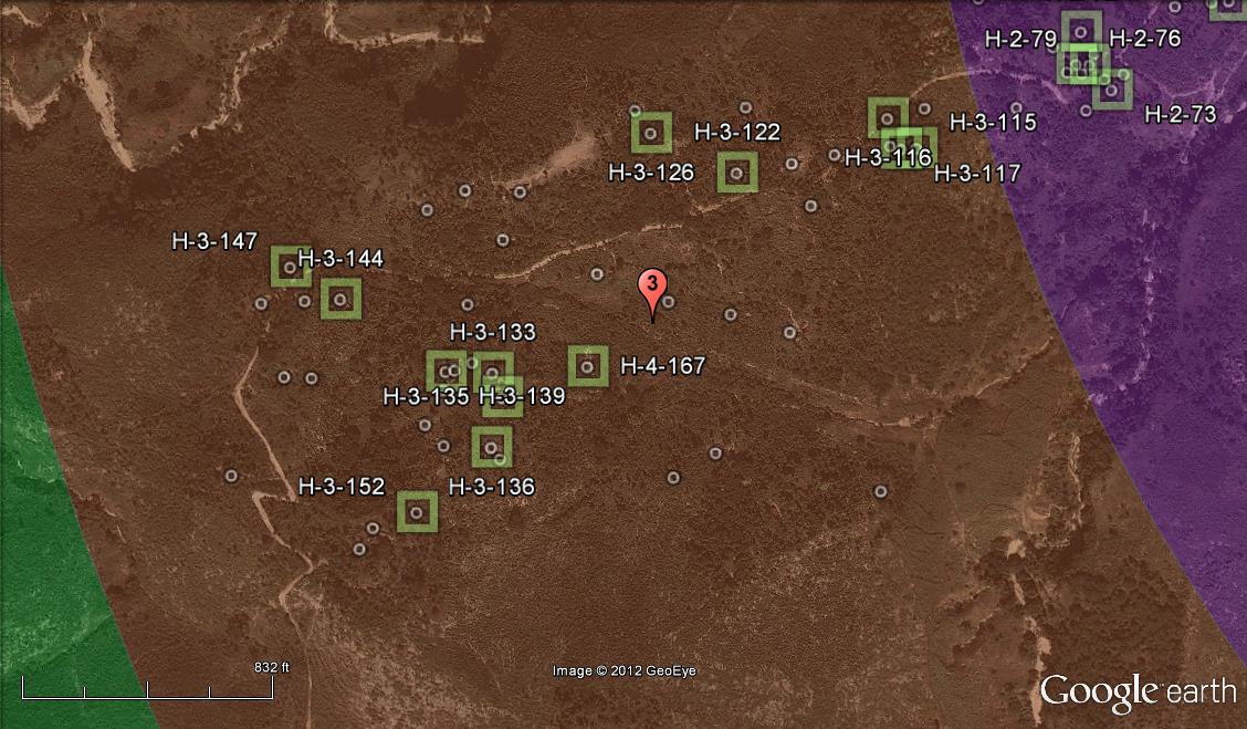
- International Journal of Health Geographics Article published on-line 1/18/13 "Using ArcMap, Google Earth, and Global Positioning Systems to select and locate random households in rural Haiti"
- LIDAR map of Sand Creek, Ottawa County
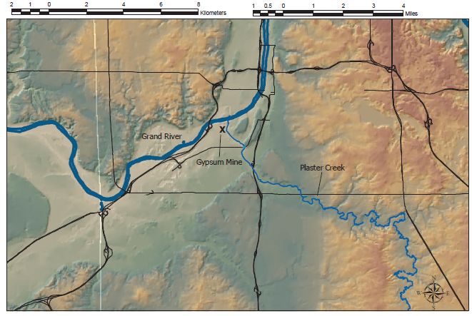
- DEM Shaded relief map of Plaster Creek and Michigan Natural Storage gypsum mine (prepared by P. Wampler)
- Map of Grand Rapids Gypsum Mine Workings (Geo425 project Ringerwole and Walters)
- SSD Presentation - Geographic Information System (GIS) Mapping of the Michigan Natural Storage Gypsum Mine (Ringerwole and Walters)


